Fieldwork
Fieldwork on Thwaites Eastern Ice Shelf, Antarctica
November 2022 - February 2023
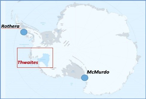
Thwaites Glacier is a large glacier located in West Antarctica. It’s larger than the state of Florida, and it currently contributes about 4% of global sea level rise (Morlighem et al., 2019). Thwaites Glacier is currently undergoing rapid change at the ice-ocean interface. If acceleration of the glacier continues, it could contribute several cm of sea level rise by the end of this century (Scambos et al., 2017).
Map of Thwaites Glacier, produced by the International Thwaites Glacier Collaboration
The International Thwaites Glacier Collaboration is a joint U.S.-U.K. aimed at studying Thwaites Glacier and the adjacent ocean, to improve estimated contributions of the glacier to global mean sea level rise in the future.
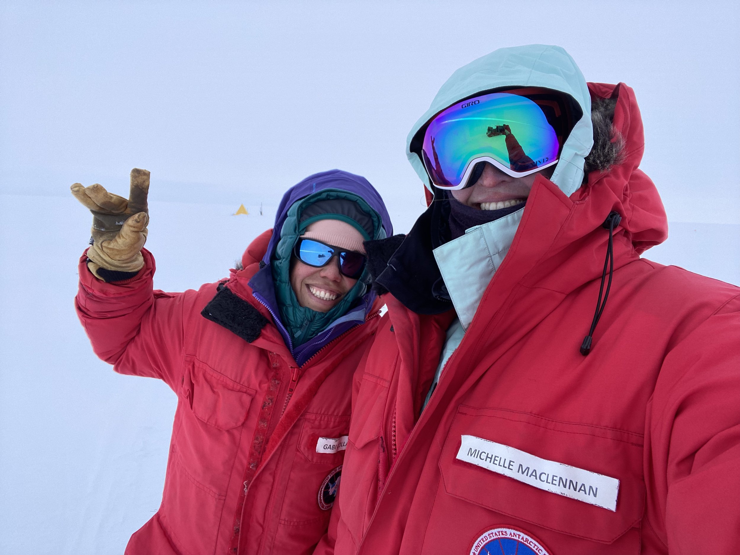
In November 2022, the TARSAN team of the International Thwaites Glacier Collaboration traveled down to Antarctica for its third field season on Thwaites Glacier.
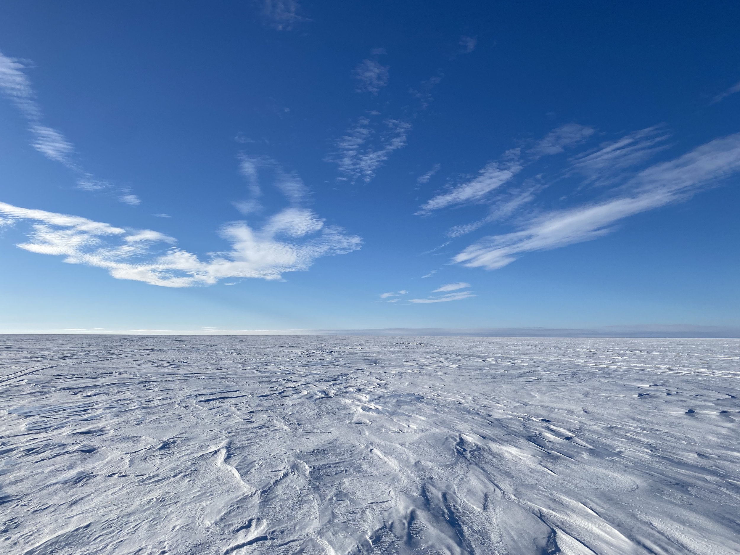
We set up camp on Thwaites Eastern Ice Shelf, the floating terminus of Thwaites Glacier, and stayed there for one month. Over 3 weeks, our team used a suite of glaciological methods to collect data on the ice shelf, including radar, ApRES, Distributed Acoustic Sensing (DAS), and Distributed Temperature Sensing (DTS). We downloaded important oceanographical data on temperature, salinity, and currents from beneath the ice shelf. Finally, we took firn cores and water samples to examine snowfall rates and melt at the surface.
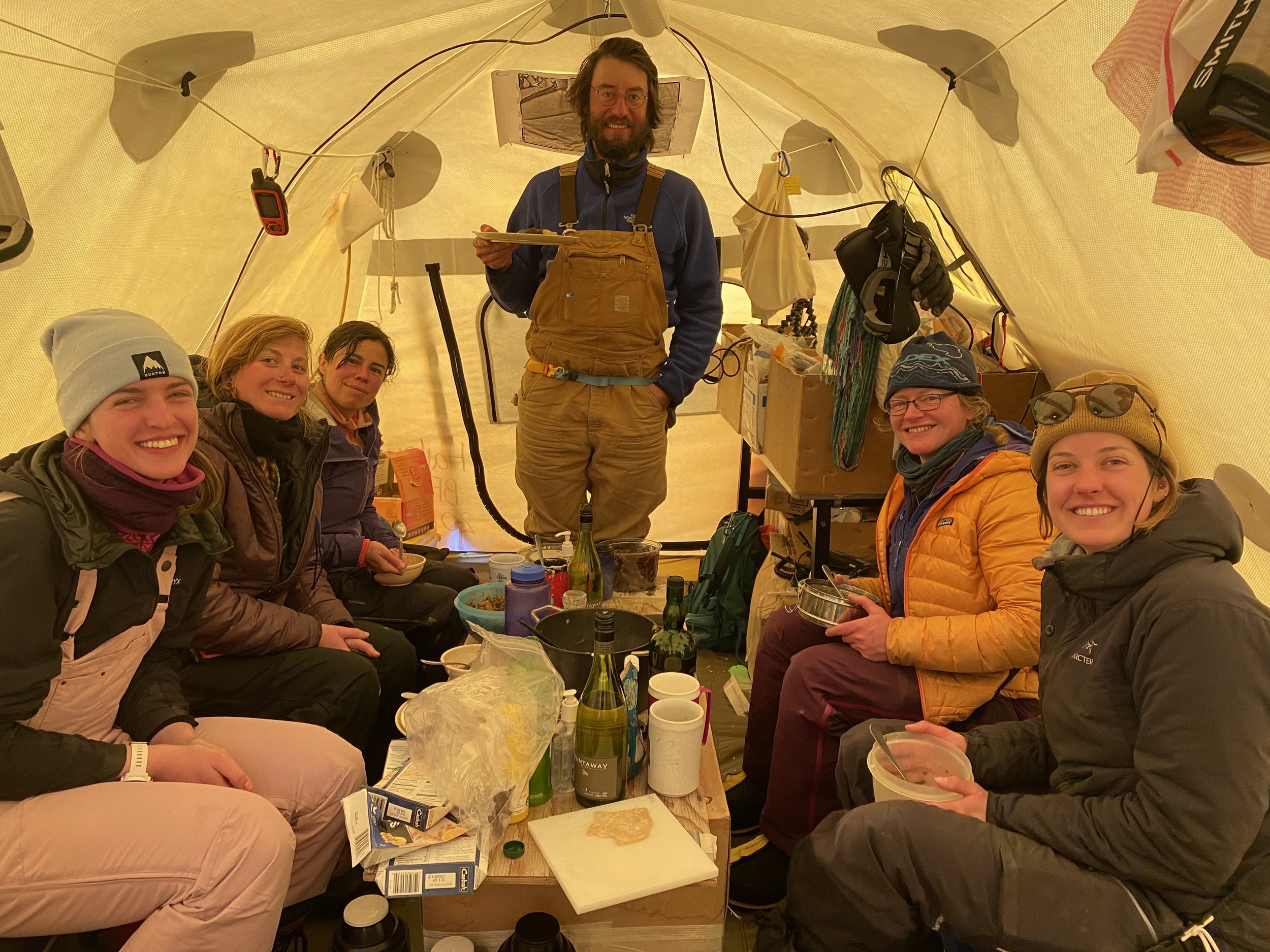
Field team members: Erin Pettit, Christian Wild, Gabriela Collao-Barrios, Meghan Sharp, Naomi Ochwat, Emelie Mahdavian, Cecelia Mortenson, and Michelle Maclennan.
Firn coring and water samples
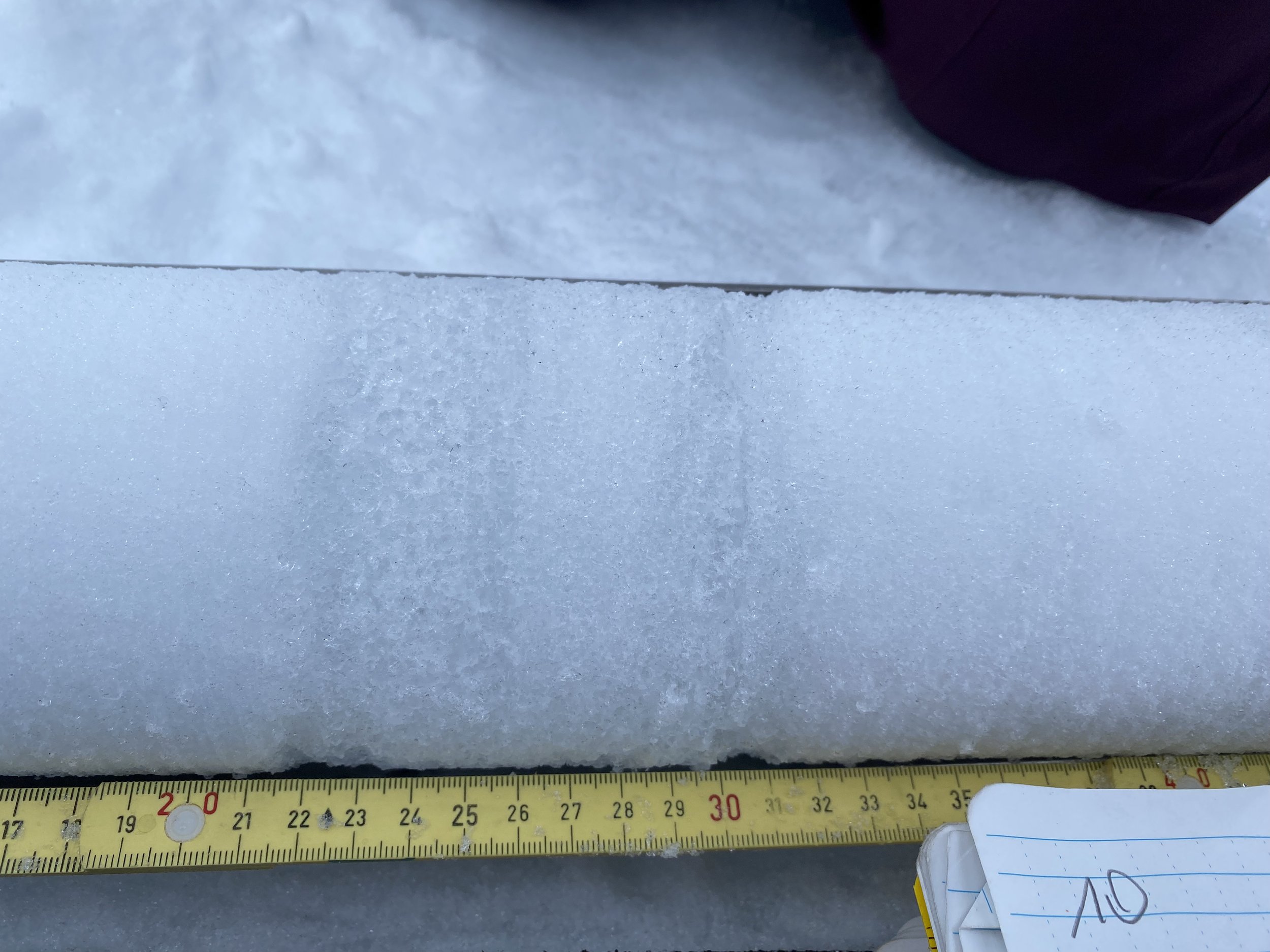
I led the atmospheric component of the field project. We took shallow firn cores down to 8 meters at our two automatic weather station sites on Thwaites Eastern Ice Shelf: Cavity Camp and Channel Camp. From these cores, we calculated density profiles of the snow and firn and recorded the depths of ice lenses.
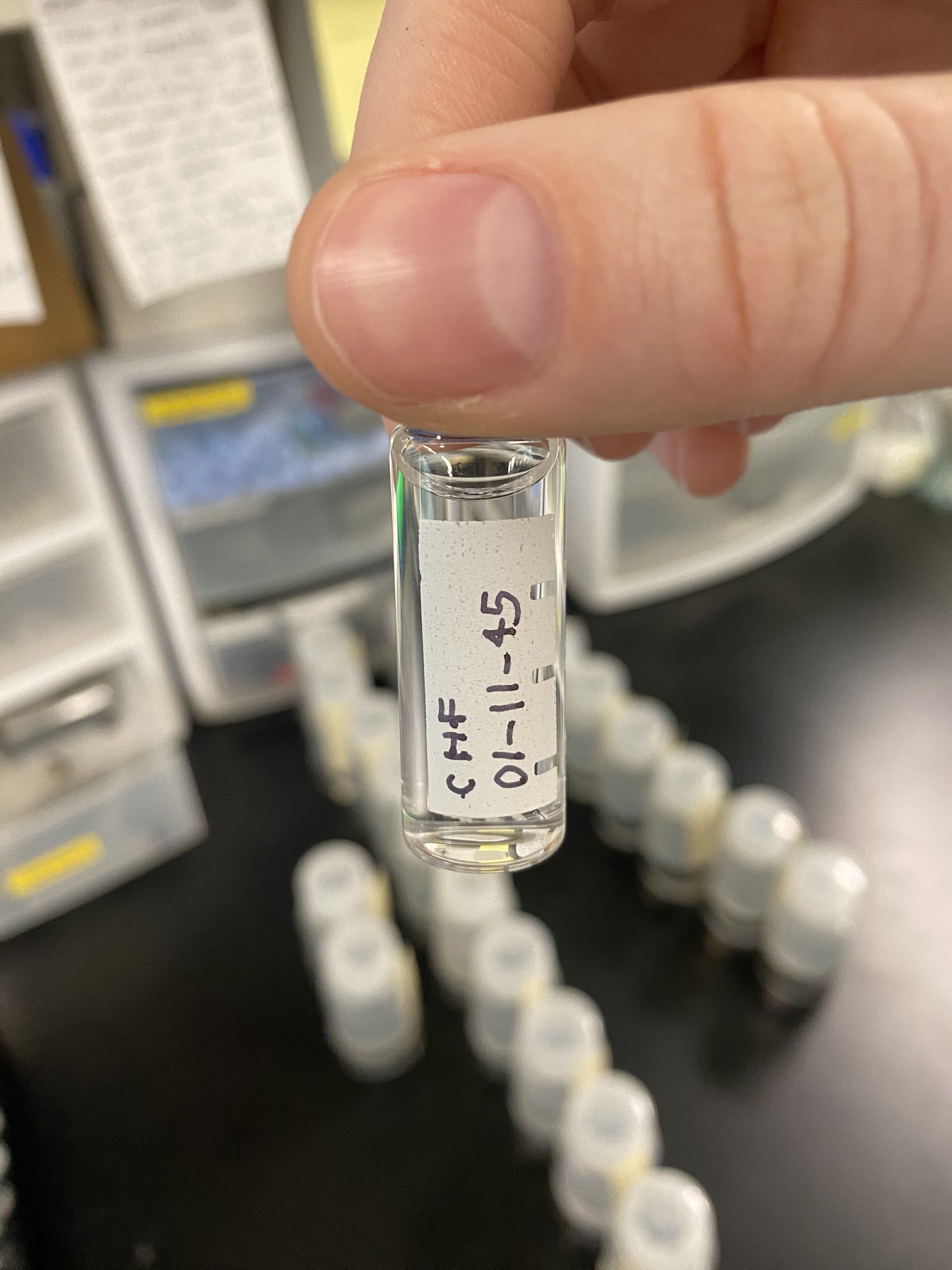
We also collected water samples from the firn cores, and shipped these back to the Stable Isotope Lab at the University of Colorado Boulder. Here we performed water isotope analysis on the samples, which can tell us about the temperature-paths of water that ended up in the firn on Thwaites Eastern Ice Shelf. The analysis of these samples is ongoing, and we hope that we can trace some of the layers and water isotope signals back to specific atmospheric events or periods.
Downloading oceanographical data
Our team’s primary goal was to download oceanographical data from instruments moored beneath Thwaites Eastern Ice Shelf, connected to the surface measurement sites by a long steel cable. The retreat of Thwaites Glacier’s grounding line is driven by warm water melting the ice from below, and this massively impacts the glacier’s contributions to sea level rise. The instruments below the ice shelf had collected critical information on the temperature and salinity of the ocean water that we needed to download.
The data downloads were logistically complex, as the two measurement sites were several km apart. We needed a laptop connected to the instruments at each site, and we needed to monitor the data downloads regularly.
In order to streamline the downloads, I led the set up of a Local Area Network (LAN) on the ice shelf, that linked a computer at our Base Camp to the two measurement sites, Channel and Cavity Camp, via radios. Then, we could remote in to the computers connected to the instruments and initiate and monitor the downloads from our cook tent at Base Camp. This enabled us to download years of data in the span of a few weeks.

